In the fall of 2015, PWE started to work on routing for a proposed pipeline located in southeast Ohio. Initially, planned development was to construct a natural gas gathering line that would tie three existing well pads into an existing pipeline. PWE was responsible for routing of the pipeline, all environmental aspects of the project, and the preparation and submittal of a Pre-Construction Notification (PCN) for a Nationwide Permit 12 (NWP 12) to the U.S. Army Corps of Engineers (USACE).
Prior to on the ground routing of the project, PWE preformed a Project Review to determine if any environmental constraints could potentially occur within the project area. PWE reviewed National Wetland Inventory (NWI) mapping, county soil surveys, hydric soils, current and historic aerial photography, and USGS topographic mapping. PWE also sent Project Review Requests to the Ohio Department of Natural Resources (ODNR) and United States Fish & Wildlife Service (USFWS) to determine if sensitive resources under their jurisdiction were known to occur within the vicinity of the project.
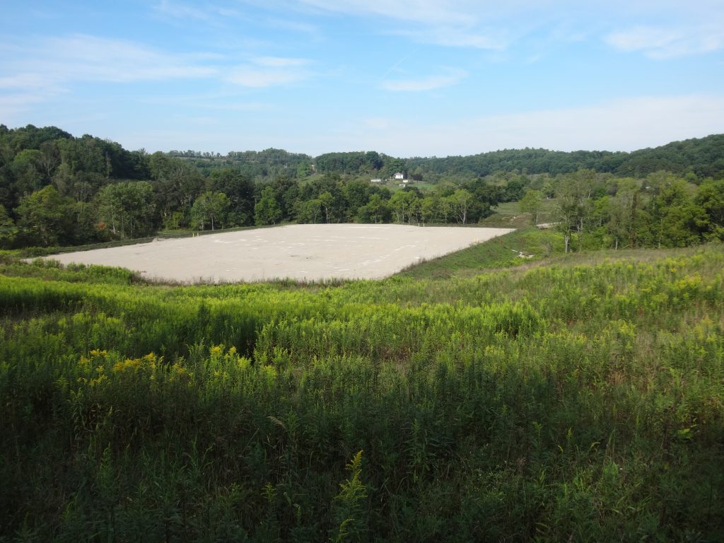
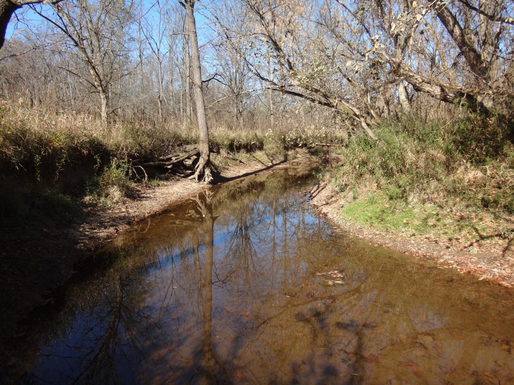
The results of the Project Review revealed that a large forested wetland occurred in the middle of the Project area and that much of the Project Area had soils with hydric ratings. Additionally, a large stream within the Project Area was identified as potential habitat for native mussels. Agency’s responses indicated that Northern long-eared bat presence had been confirmed in the vicinity of the Project Area, therefore tree clearing would be restricted to the winter months (October 1 – March 31).
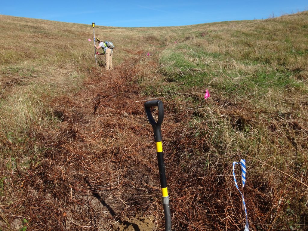
Based on the Project Review PWE worked with the land team to complete an on the ground routing for the pipeline. Access to additional properties was obtained so we could complete field reconnaissance to develop options for the proposed route. During the field views, mussel shells were seen within the large stream, the large forested wetland was categorized as a Category 3 PFO wetland and the boundaries of this wetland were found to extend much farther than anticipated. Several other large wetland areas were also identified, as well as two new pipeline crossings. Ultimately a route was found that avoided the Category 3 wetland, several other large wetlands, and both of the new pipelines. The crossing of the large stream was unavoidable; PWE suggested boring beneath this stream and a large wetland area to avoid the environmental constraints associated with mussel presence in streams, and forested wetlands in the state of Ohio.
More than five proposed routes were considered during the planning of this project. PWE completed an investigation and delineation of Waters of the U.S. and State in accordance with both the USACE and the Ohio Environmental Protection Agency (Ohio EPA) for each proposed route. The delineations were completed to fulfill the requirements of Section 404 of the Clean Water Act administered by the USACE and the Ohio EPA Ohio Administrative Code, Chapter 3745. A total of 25 wetland areas, and 46 stream segments were identified and delineated between fall 2015 and fall 2016.
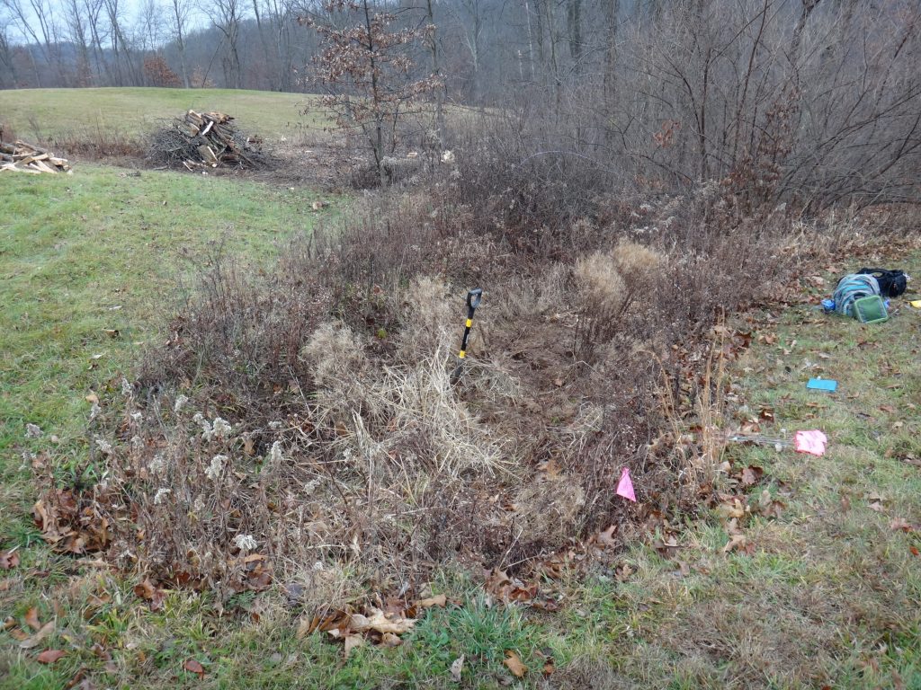
In August 2016, after a 6 month work freeze, the final route was established by working closely with several land owners. The final route resulted in a 2.5 mile pipeline with final impacts to aquatic resources limited to one temporary wetland impact (0.036 acres), and 9 temporary stream impacts (350.3 linear feet).
PWE drafted and submitted a PCN to the USACE on November 1, 2016. The USACE sent the approved NWP 12 along with a Preliminary Jurisdictional Determination (PJD) on December 5, 2016. Construction of the Pipeline began within 2 weeks of NWP approval.